
Sources Around Sioux City Neighbors
Each block source has a narrow role. Parcel and zoning layers describe land. Election tools describe a precinct route. Neighborhood groups publish civic contacts and meeting sites, not lists of people who live nearby. Historical maps and reverse directories can reconstruct an older block, but their dates must stay visible. Keeping those limits clear prevents a legal owner, mailing contact, voter, or group contact from being mislabeled as a current occupant.
| Source | What It Shows About a Sioux City Block | Access |
|---|---|---|
| Beacon and assessor route | Parcel, PIN, situs, owner or deed-holder, mailing and zoning fields when available | Public official handoff; live general viewer was blocked, so ask the assessor |
| ArcGIS parcel item | Technical polygons, area, shape, and record-lineage fields | Public item; no owner field captured |
| City zoning map | Current district pattern across the block | Public PDF and Beacon instructions; date-sensitive |
| Woodbury Elections | Precinct, polling route, and sample-ballot context | Free address-area workflow; not a block resident list |
| Neighborhood Network | Group names, civic contacts, meeting sites, and local vocabulary | Public page; no member roll or parcel boundary |
| Sanborn and reverse directory | Older footprints, street context, and dated address-to-name clues | City PDFs, library, FamilySearch, and licensed library access |
When looking for Sioux City neighbors now, use the current parcel date and report each public role exactly. When the goal is block history, keep the map year and directory year beside every name. A map can show that two lots touch, but it cannot prove that two people knew each other.
Map Sioux City Parcels Outward
The proper block process begins at one verified street address. Woodbury County links both city and county assessor searches to Beacon, and Sioux City’s Maps page points to parcel mapping. During research, the live Beacon map was blocked and the ArcGIS item exposed geometry rather than resident names. That means a failed online click needs an assessor request, not a guess.
- Normalize the subject address and date it. Record the parcel PIN, polygon, situs address, legal description, and map date.
- Click each parcel that shares a boundary. Capture every PIN and situs while keeping technical geometry apart from owner data.
- Read owner, deed-holder, contract-holder, and tax mailing fields by their exact labels. Do not turn any of them into an occupant claim.
- Add zoning, precinct, ZIP, and neighborhood-group context as separate layers with their own source dates.
- Request a parcel card or a defined range from the assessor when Beacon will not load. Log the gap and response.
The resulting flow is: address, subject parcel, shared-boundary parcels, legal roles, zoning and precinct, civic context. For the longer ownership chain along a named road, use the Sioux City street directory rather than expanding this immediate-block method.
Note: A tax mailing address is a search lead, not proof that the deed holder lives on the parcel.
Sioux City Zoning by Block
Zoning adds land-use context without identifying your neighbors. Sioux City directs users to Beacon’s Map tab and says to choose “Zoning” under the Areas tab, with the city’s zoning code and official zoning map as companion sources. A current zoning district can help explain why adjacent lots differ in scale or use. It should not be projected backward without a dated map or ordinance.
The Sioux City zoning and sign-code page shows the official route from the code to the map layer.
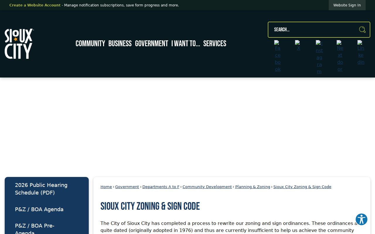
This layer describes the block’s current district pattern. It does not name occupants or define a Neighborhood Network boundary.
Sioux City Neighbors and Precincts
Woodbury County Elections provides an address-area path through ZIP or city, plus a precinct page searchable by precinct, location name, or township. Polling places are civic landmarks and may help distinguish one side of the city from another. They are not proof that any named person lives on the block, and polling places can change before an election.
The Sioux City precinct and polling-place list is the source for the current precinct vocabulary.
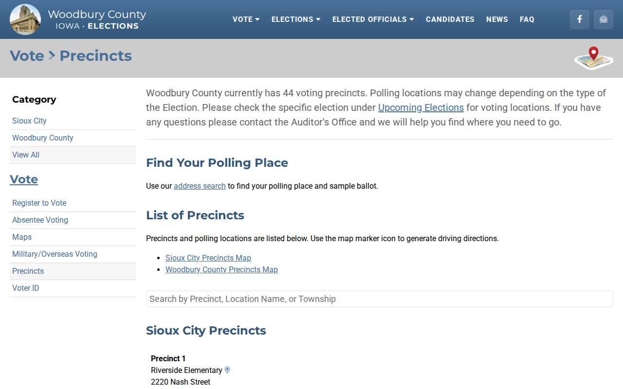
Pair the precinct result with the exact address and search date, then recheck it for the election at issue.
The statewide voter lookup uses required first name, last name, and five-digit ZIP. It has no visible street field. Iowa voter-list products operate under sections 48A.38 and 48A.39, with limits on use and resale. For block work, the public election route supplies geography, not an unrestricted neighbor roll.
Sioux City Neighborhood Contacts
The Sioux City Neighborhood Network gives the block useful civic language. It identifies Jones Street, Leeds, Riverside, Westside, Northside, Morningside, Crescent Park, and a citywide coalition. The published names and meeting sites are contact points only. The page does not publish a membership directory and cannot prove that a parcel or person belongs to a group.
| Group | Published Meeting or Contact Cue | Directory Boundary |
|---|---|---|
| Jones Street | Janet Reynolds | No member directory published |
| Leeds | First Tuesday, 7 p.m., Steinbecks, 3929 Floyd; DuWayne Harvey | Contact and meeting only |
| Riverside | First Wednesday, 7 p.m., United Methodist, 617 Wright; Pete Peters | Contact and meeting only |
| Westside | Third Thursday, 7 p.m., Immanuel Lutheran, 315 Hamilton; Tiffany Leckband | Contact and meeting only |
| Northside | First Thursday, 6 p.m., St. John’s Lutheran, 2801 Jackson; Larry Besch | Contact and meeting only |
| Morningside | Karen Harrison | Meeting detail not fully published |
| Crescent Park | Fourth Thursday, 7 p.m., Hy-Vee, 2827 Hamilton; Larry Besch | Contact and meeting only |
The citywide coalition meets on the second Thursday at Police and Fire Headquarters, 601 Douglas. These sites can become map anchors or newspaper search terms. They do not create an official neighborhood polygon.
Compare Sioux City Neighbor Sources
Official records and commercial neighbor tools serve different roles. Official sources identify the custodian, field label, and date. Commercial compilations can be quick, but may merge old addresses, household members, or names from unrelated public files. Neither category should be treated as a complete account of who occupies a block.
| Official Block Sources | Commercial Compilations |
|---|---|
| Named government or library custodian | Source chain may be hard to see |
| Role labels such as owner, voter, or party | Roles may be blended into one profile |
| Record date and correction route can be saved | Dates and update timing may be unclear |
| Known legal and access limits | Opt-out does not erase the source record |
For a sound Sioux City result, preserve the official field and correct errors with its custodian. If a commercial listing exposes personal data, use that provider’s documented opt-out. Removal there does not change the government record.
Earlier Sioux City Neighbors
Sioux City’s public Sanborn sets cover 1884, 1886, 1890, 1924, and 1949. They show street names, building footprints, materials, floors, outbuildings, and use labels for mapped blocks. They do not name every person. A dated reverse or criss-cross directory can add an address-to-name clue, while a deed supplies the legal ownership trail.
Neighborhood geography also changed as Sioux City grew from its 1854 plat near the Missouri and Floyd Rivers. The municipal numbering code, effective January 1, 1901, places even numbers on south and east sides, odd numbers on north and west sides, and advances numbers by 100 per block. That rule can catch a bad transcription, but it cannot prove that an older address maps to the same lot.
Reconstruct an earlier block from four layers: parcel and adjacent polygons, a dated zoning or planning source, the relevant Sanborn sheet, and a civic landmark. Add a directory or deed only for the role it proves. This geography-first method shows change without turning a historic map into a resident list.
Privacy for Sioux City Neighbors
A public owner field does not reveal all adults, children, guests, or other household members. A voter lookup may omit an inactive or protected record. Utility and delivery customer information was not found as a public source and should not be sought as a shortcut. Safe at Home protects qualifying survivors through a substitute address, mail forwarding, and confidential voter registration.
Protect Our Protectors provides substitute-address protection for qualifying public-safety and justice personnel and family members, though its actual-address protection does not extend to real-estate records. Keep only the fields needed for a lawful block question. Do not publish a protected address or combine scattered facts into a detailed living-person profile.
Lawful use. Learn about Sioux City neighbors for civic context, reconnection, or personal safety. Never use block records to watch, harass, intimidate, or harm someone.